


CADD Centre: Pioneering Edtech Transformation for Over 35 Years
Bridging Learning and Careers
For over three decades, CADD Centre has been a trusted institution, enriching the careers of over 2.5 million learners worldwide with cutting-edge courses. Our recent launch of Electric Vehicle Technology and Generative AI job role-based courses underscores our dedication to preparing youth for a sustainable future.
Renowned for hosting Job Pakka Fair 2023, India's largest talent search, offering 15,000 job openings across diverse cities and industries. With 40,000 students registered and 8,000 already on their path to dream careers, our legacy of transformation and empowerment thrives.
Beyond the classroom, we inspire the younger generation to transcend boundaries and pursue sustainable development in their respective fields. At CADD Centre, we are committed to shaping tomorrow's workforce and fostering a brighter future.
2M+
Engineers and
Professionals trained
700
training centres -
Asia's biggest network
24
global
locations
100+
industry-ready
courses
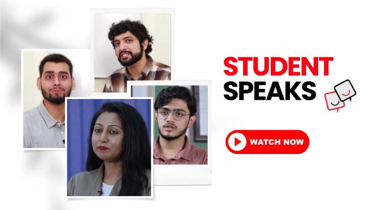
Hear from our students
Straight from our learners' hearts!
It is always joyful to enable passionate learners in their journey to success. Watch our learners share their experiences with learning at CADD Centre
World class training, world over.
Engineers and Professionals trained
training centres - Asia's biggest network
global locations
industry-ready courses
CADD Divisions
Events & Contests